


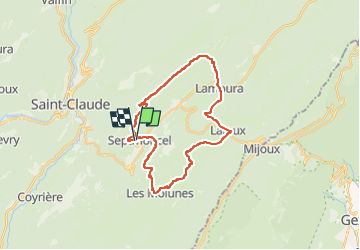

16.3 km | 31 km-effort


User


FREE GPS app for hiking
 SityTrail
IGN / Geographical institutes
SityTrail World
The world is yours!
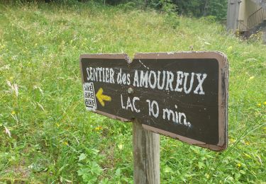
Trail Other activity of 26 km to be discovered at Bourgogne-Franche-Comté, Jura, Septmoncel les Molunes. This trail is proposed by olivierjeantet.
Septmoncel
Les Celary
Lamoura
Le Fournet
Lajoux
Le Manon
Les Platières
La Vie Neuve
laisia
Les Petroliers
Retour Septmoncel

Walking

Walking

Cycle

Running
Walking

Walking
Walking
Walking
Walking